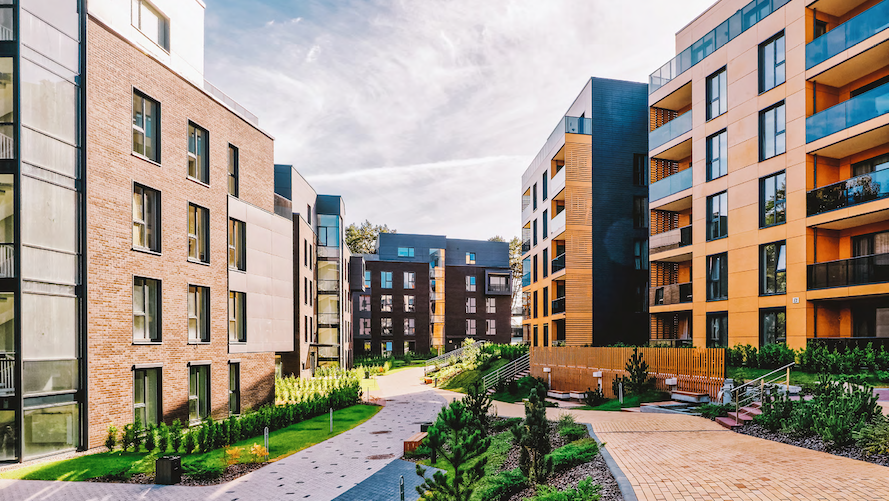
3D Scanning Services are Changing Real Estate
Robotic ImagingApril 9, 2022
What Kind of 3D Scanning are we Talking About?
There are many kinds of 3D scanning services, but when it comes to the real estate industry, there are two big players - 3D Virtual Reality Capture, and Light Detection and Ranging (LiDAR).
3D Virtual Reality Capture is used to create a 3D photographic model that allows end users to 'walk through' a space. Experts use specialty cameras to capture 360 degree images from strategic positions throughout a space. The end result is a 3D visualization that can be viewed on a phone, laptop, or VR headset. You can tap to move around on your phone, move with arrow keys on a computer, and controller inputs on a VR headset.
LiDAR is another 3D scanning service, but the end result is quite different. LiDAR also makes use of specialty technology, but instead of creating photographic images, it creates what is called a point cloud. A point cloud is a collection of data that represents a building, mainly denoting where there are physical objects and where is only empty space. This data can be captured at different levels of detail (LOD), for example one level may capture crown molding, but another will not. Point Cloud data can be used to generate many different kinds of 3D models.
Suggested reading: If you want to learn more about levels of detail, check out this article.
Virtual Reality Capture in Real Estate
The most obvious application of this 3D scanning service is in residential real estate sales. It allows prospective home buyers to 'walk through' a house without having to coordinate a visit with the realtor. Many residential real estate sellers are posting these 3D models online in order to reach a wider audience. Potential buyers from all over can get a feel for the inside of a house before ever setting foot in it.
However there is also another important application of virtual reality capture in real estate. This 3D scanning service can also be quite valuable in larger commercial construction projects. Oftentimes, project managers, engineers, and architects aren't able to visit job sites regularly. Many commercial construction projects are turning to 3D scanning services in order to keep their managers up to date on the status of long term projects. A picture is one thing, but a fully generated 360 degree model of a space is much more valuable to someone who needs to see the details of a project.
LiDAR in Real Estate
LiDAR is a much more technical 3D scanning service than virtual reality capture. It produces very specific data and models that are only really useful to experts who know how to read them. But to experts, these kinds of models have become invaluable. Whether it is a new high-rise office building or the repurposing of a retail store front, LiDAR provides access to tools that have become essentials for those leading these projects.
3D scanning services aren't just useful in project planning, they also aid in simulation, progress tracking, and documentation - access to the CAD drawings or BIM models generated via LiDAR data aids architects, designers, engineers, and project managers at every step of a project. 3D scanning services drastically increases managers' ability to understand the project across all stages, and the efficiency and effectiveness of their planning and decision making. Because of this, these services have become staples in commercial construction.
Closing
3D scanning services is a broad term that encompasses multiple different processes each with multiple applications. These services provide professionals across the real estate industry with information and tools that help the do their jobs better and more efficiently. This is why 3D scanning services are becoming more and more prevalent. If you want to learn more about the 3D scanning services that Robotic Engineering can provide, please reach out to us using the form below.