How To Successfully Plan a 3D Laser Scanning Survey
Robotic ImagingDecember 30, 2022
Getting the proper as-built documentation of any existing project is critical to a project's success. LiDAR scanning has become more commonly practiced in the AEC profession. Robotic Imaging prides itself in providing our clients with a highly accurate digital twin model using BIM software. We use a point cloud underlay, directly derived from the site to precisely produce a 3D model.
But, of course with any tedious process, there can be many challenges that might impede an accurate scan-to-BIM project. To get the high quality scan you need, you have to plan. Robotic Imaging is here to help.
Suggested reading: If you want to learn more about the total Scan-to-BIM process, check out this article.
Challenges often encountered when doing scan include:
Hazardous or unsafe scanning sites
Restricted or limited access into the building itself
Managing project expectations, such as not communicating the LOD actually required
With effective planning and by having conversations with Robotic Imaging’s professionals, we can better produce your project deliverables. We can better guarantee a higher level of accuracy.
How It Typically Works:
On a typical project, your surveying technician will know these following requirements:
If the scan is in color or black and white
How many scans are required to properly produce a point cloud
Understanding and navigating difficult accessibility issues on a site
Other scans required with the base LiDAR scan. For instance, does the client also want a photogrammetry scan simultaneously extracted from the site?
The building’s data must be efficiently extracted. Not only does this help reduce data size, but it also leads to a less messy point cloud. WIth too many overlapping scans, it makes it more challenging for our experienced BIM modelers to interpret the point cloud. But with effective site planning, a successful scan is easy to accomplish.
Suggested reading: If you want to learn more about the why LiDAR is the most important step for your project , check out this article.
Tips for a Successful Scan
Here are a few guidelines to Robotic Imaging considers to guarantee a result our clients are ecstatic with:
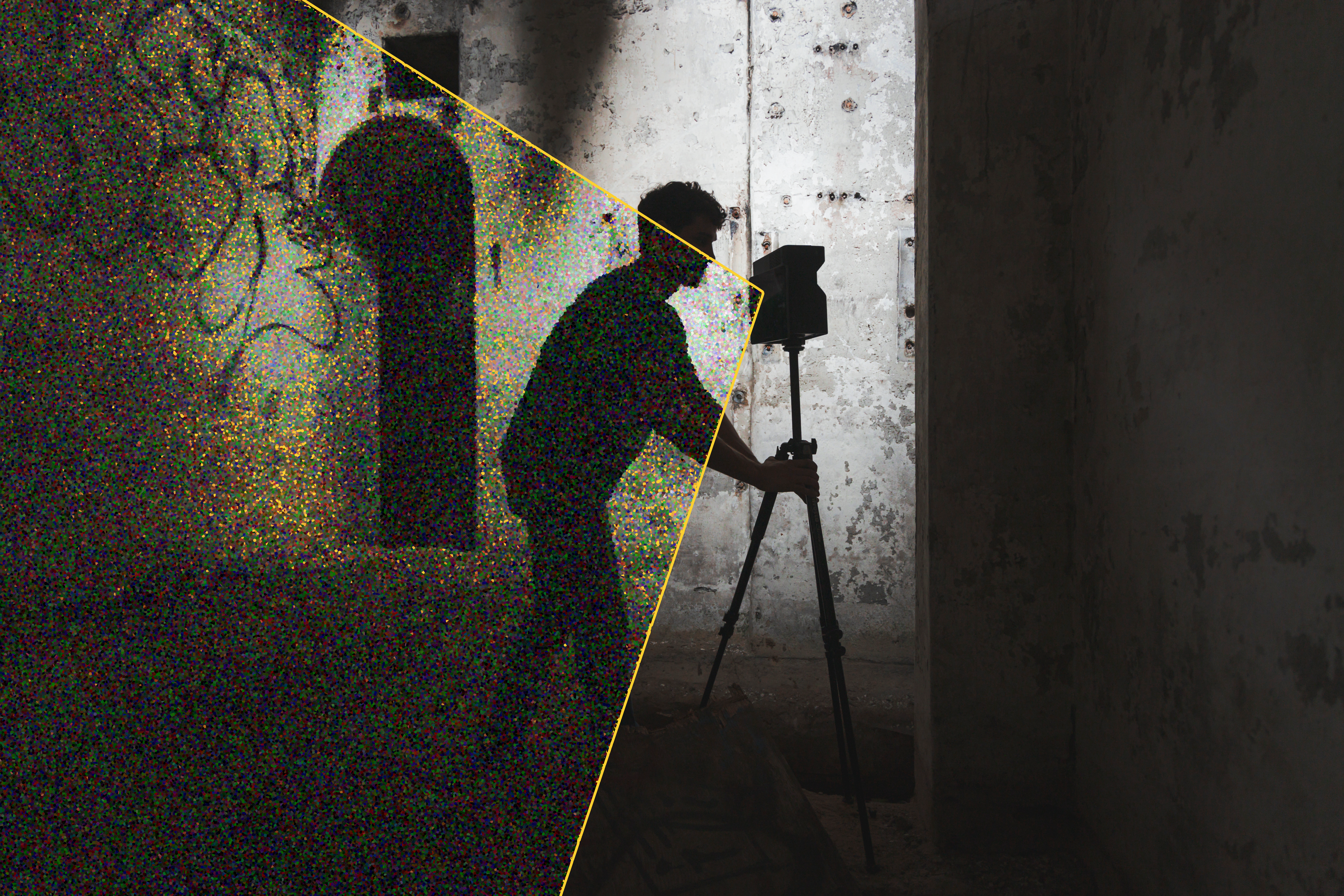
Selecting the Right Scanner
When scanning complex or inaccessible conditions, the right scanner must be selected to extract critical site information. Your scanning technician will have a few questions inquiring about current site conditions. Be honest in terms of accessibility aspects and square footage so we can best scan your site.
At Robotic Imaging, we have a variety of laser scanning devices for our scan-to-BIM projects. For instance, our Leica RTC 360 is commonly used in industrial programs and land surveying. A Leica BLK 360 is better used for drop ceilings, roofing, residential, and office programs. Matterport produces a visualization of current conditions using photogrammetry technology.
Preparation is Key
Being transparent about scanning obstacles or accessibility concerns allows our skilled technicians to properly allot the necessary amount of time to scan the site. If necessary, a rough site plan will be generated to best outline the optimal scan path your technician will take.
Scan Route Plans Create Cleaner Scans
Crafting a scan route is extremely effective. As scanning technology depends on line-of-site measurements, it’s best to optimize scanner placement throughout the site. By quickly drafting an optimal scanning route, scanning coverage can be significantly improved. Also, the technician is able to extract fewer scans due to the route optimization. This enables the process to be expedited and minimizes errors.
Reviewing the Data
The entire post-scan review and registration process can be optimized if the scanning process becomes more efficient. Point cloud registration requires multiple laser scans to be lined up. These overlapping scans will produce a point cloud that will later serve as an underlay in the BIM software of the client’s choosing.
Key Takeaways
3D scanning has revolutionized the entire AEC industry. Its flexibility and high accuracy enables projects to achieve a higher level of detail than ever previously thought possible. Laser scanning enables projects to have an enhanced, highly accurate base model that professionals can all collaborate with.
3D scanning offers much more flexibility and opportunities that traditional methods cannot match. With good planning and preparation, your project can start off stronger than ever. And this is all thanks to the advanced capabilities that LiDAR technology brings.
