Robotic ImagingJuly 31, 2022
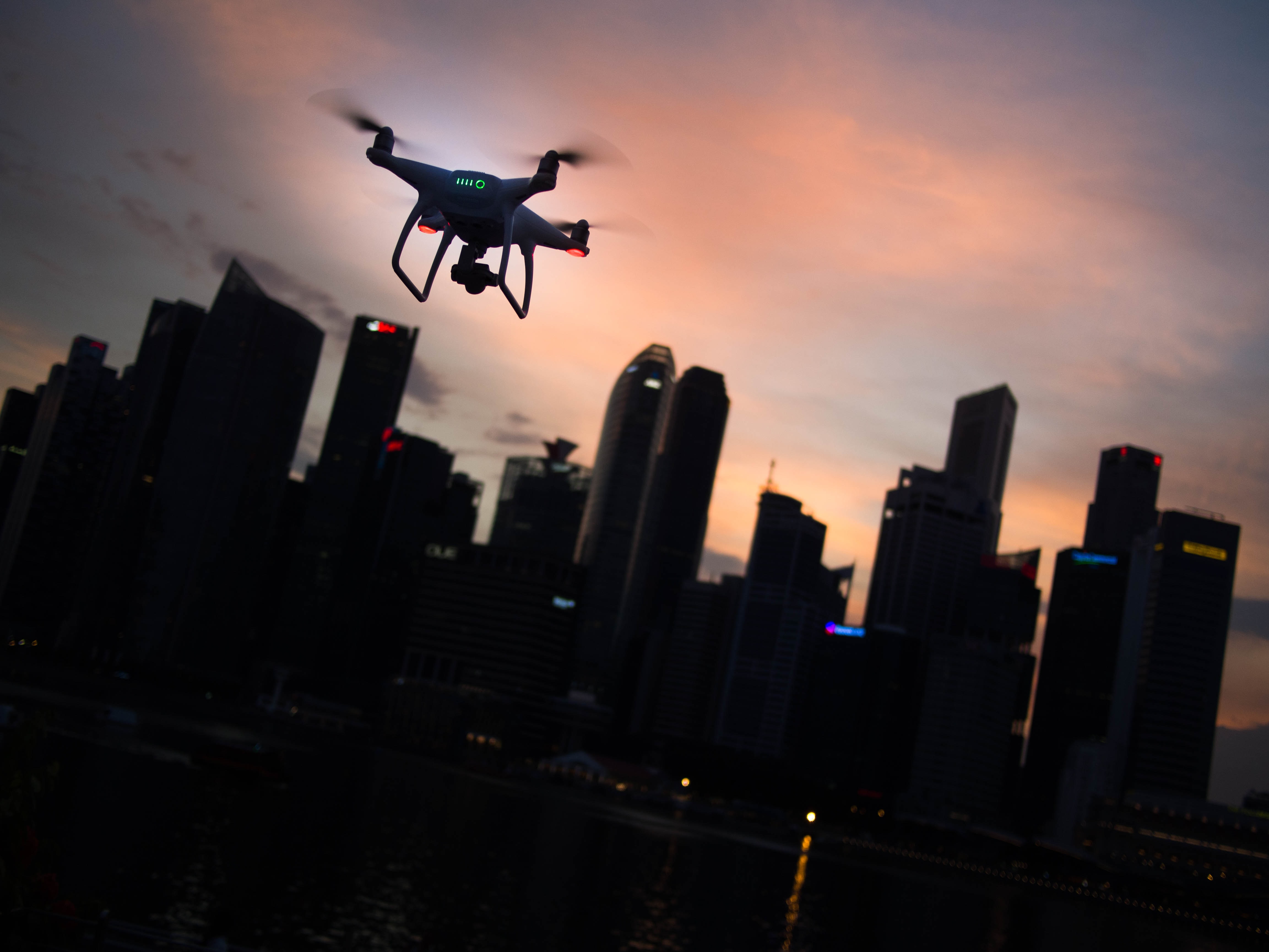
The aerial LiDAR drone system gives out precise and accurate geo-rectified and colorized point cloud. It is used for multiple purposes by many kinds of industries like land surveying, construction, mining, forestry, agriculture, building, and land development.
The LiDAR drone services are accurate and very precise. The accuracy of the LiDAR provides data with a precision of 1-3cm on all dimensions- the latitude, longitude, and the elevation.
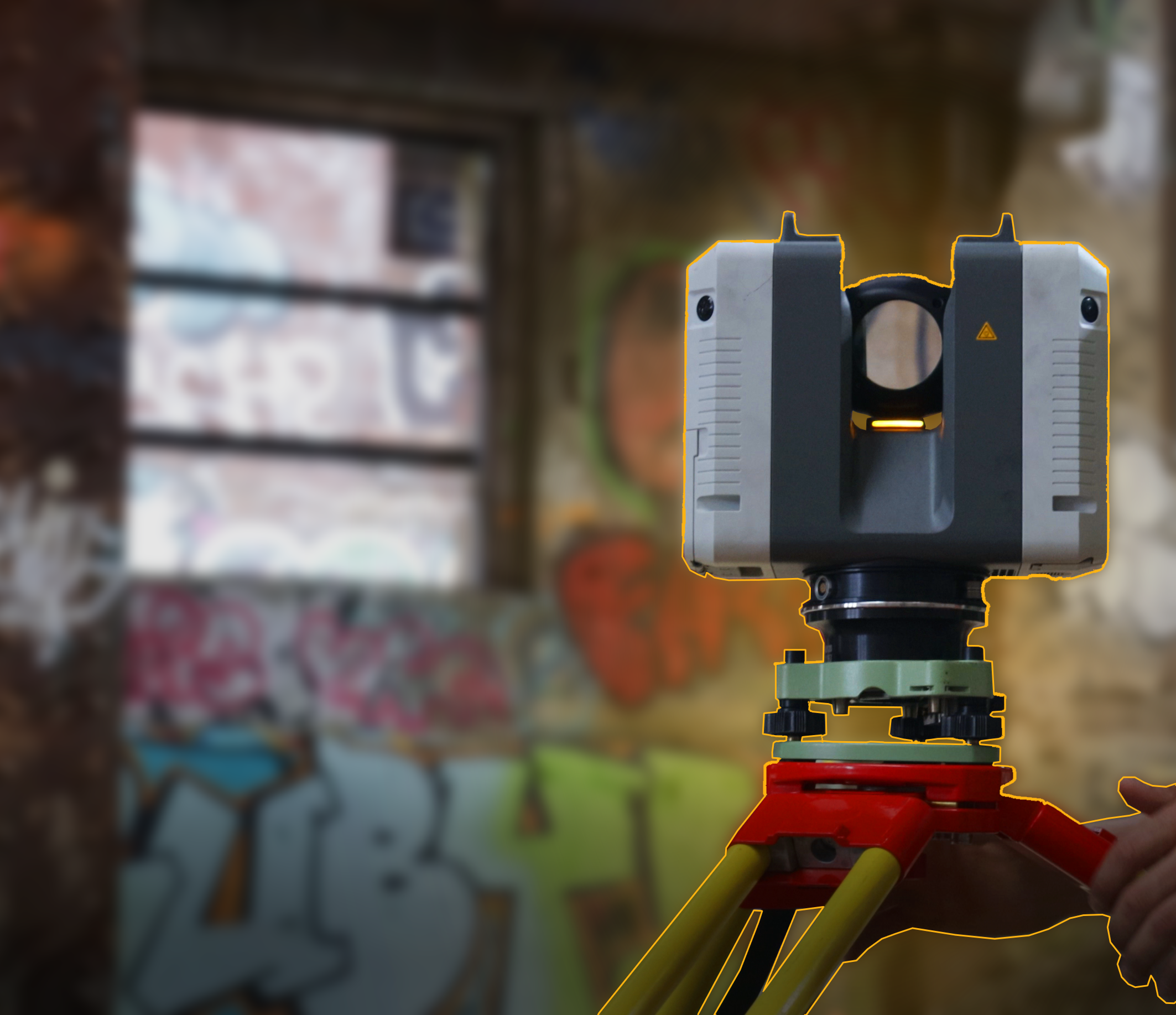
The Three Main Components of Lidar Drones:
Drones with LiDAR are equipped with three main components, a laser scanner, the IMU, and the GNSS receiver.
A laser scanner measures the distance and the angle of the object, landscape or house with respect to itself. The IMU helps detect the orientation of the object, which means how the object is positioned in 3-dimensional space. These two components of LiDAR equipment are a must for LiDAR drone surveying for businesses that need information on landscape information for archaeology, mining, farming, forestry, and more or less any industry that is planning to use that land.
The third piece of equipment is the GNSS receiver. The LiDAR Drone equipment also with a GPS antenna which emits the signals to the GNSS receiver, a built-in device in the LiDAR unit. The GNSS tell the exact position- the (x,y,z) latitude, longitude and elevation.
Suggested reading: If you want to learn more about drone technology, check out this article.
Base Station
LiDAR drone equipment also includes another crucial piece, without which the accuracy of the whole outcome will be compromised. It is called the Base Station. This piece is important because a single GPS will not be able to cover a large area.
Once this piece of equipment is placed, it receives signals from the satellite in space. The signals are often received after getting refracted due to the atmosphere and different weather conditions.
This differential GPS setup will fix that common distortion for us and give us the most accurate reading on LiDAR.
LiDAR drone companies have designed their airborne LiDAR system to work on UAVs (unmanned aerial vehicles) and UAS (unmanned aerial systems) that help industries and businesses better survey the land they have or are going to invest in.
The price of a LiDAR drone can be divided into a few factors. A basic LiDAR system can cost you anywhere between $20,000 to $30000. A drone for the aerial view would come for $10,000 to $20,000. Apart from this, you will need batteries, a base station and a GPS rover, which can cost you $10,000 to $15000.
LiDAR, even though it is a bit pricey due to its high notch technical components, is exceptionally beneficial for surveying land for industries like mining, construction, forestry, road building and building factories in remote areas of the country.
The accuracy is spot on, and navigation can be done on screen without visiting the site frequently. Manual inspection and analysis can take days, whereas the LiDAR drone can get the same work done within a few hours with precision and accuracy. You can cover large land areas without moving out and about in your car with manual and tiring equipment.