Robotic Imaging Data Exchange
Robotic ImagingMarch 28, 2024
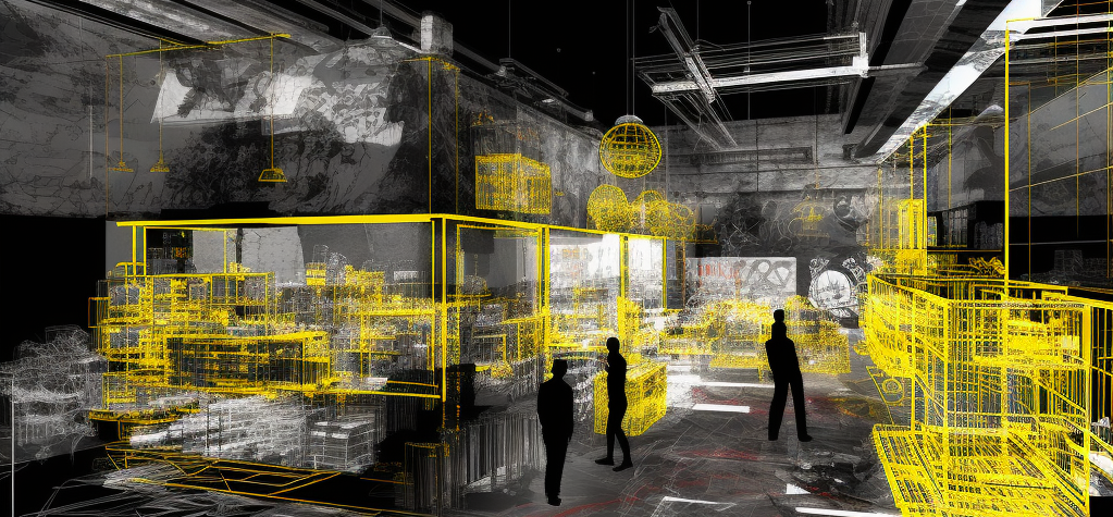
Robotic Imaging deploys cyber-physical construction systems across the world to centralize as-built data that bridges the gap between the physical site and its digital twin.
Digitize Your ProjectHow It Works

Data Acquisition
Assets are documented with mobile, web and 3D laser scanning applications
Data Processing
Site data is processed using 3D reality capture softwares.


BIM
Reality data is traced in design softwares such as Revit, AutoCAD, or Sketchup.
Any File
We deliver any file type and connect to existing cloud infrastructures.


Integration
- Point Clouds
- CAD Drawings
- 3D Revit Models
- Reality Analysis
- Robotic Imaging API
More Accurate: Building Information Models (BIM) coordinated to the reality layer reducing human error.
Faster Documentation: 10x the speed and detail of traditional building measurements.
Detail: Capturing 3D spherical laser imaging ~1,000,000 points per second.
Cost Reduction: Robotic Imaging identifies inaccuracies before, during and/or after construction.
Partner Integrations
Automations Can Include:
- Digital Twins
- Laser Point Clouds
- Drone Mapping
- Virtual Walkthroughs
- System Integration (API)
- Facilities Management
Modeling Can Include:
- Floor Plans
- Reflected Ceiling Plans
- Sections
- Interior Elevations
- Exterior Elevations
- Roof Plans
- BIM Models
Multi-Site Can Include:
- Portfolio Standardization
- Design Standardization
- Scheduling Automation
- Centralized Documentation
- Digital Twin Maintenance