Field capture
RI Capture App
- 90-Second Mobile Video Ingestion
- Automated Nameplate Capture & Verification
- Instant QR & Barcode Asset Lookup
- Works Fully Offline (iOS & Android)
About · Philadelphia, since 2017
Robotic Imaging is the verified record of your physical sites—every location, every asset, standardized and kept current.
The arc
2017
We were founded in Philadelphia in 2017 with the mission to deliver accurate building data, remotely and at scale. We did so with laser scanners and built a mobile app to organize the utility photos. We implemented optical character recognition and asset tagging to extract the imagery so it can live accurately. We reinvested all profits back into delivering for our customers and this remains our focus.
Scale
We realized the problem we were solving required further simplification—adding video for critical enterprise reporting so if you can capture a video, you can use our app. This took our volume from hundreds of sites per week to thousands.
Today
Automation is only as good as its context. So we built the context layer: that identify HVAC equipment against manufacturer catalogs — even discontinued lines recovered through the Wayback Machine. That science now extends to electrical and custom equipment, delivered as safe AI for enterprises operating worldwide.
Our lens remains focused on physical building attributes across retail, industrial and infrastructure at any stage in the portfolio lifecycle. Whether we deliver drawings for remodels or floor plans for acquisitions, accuracy remains #1.
What we work with
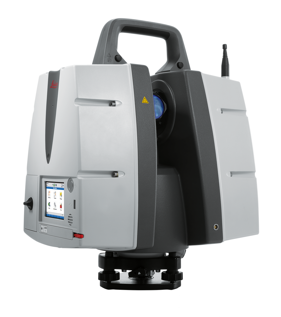
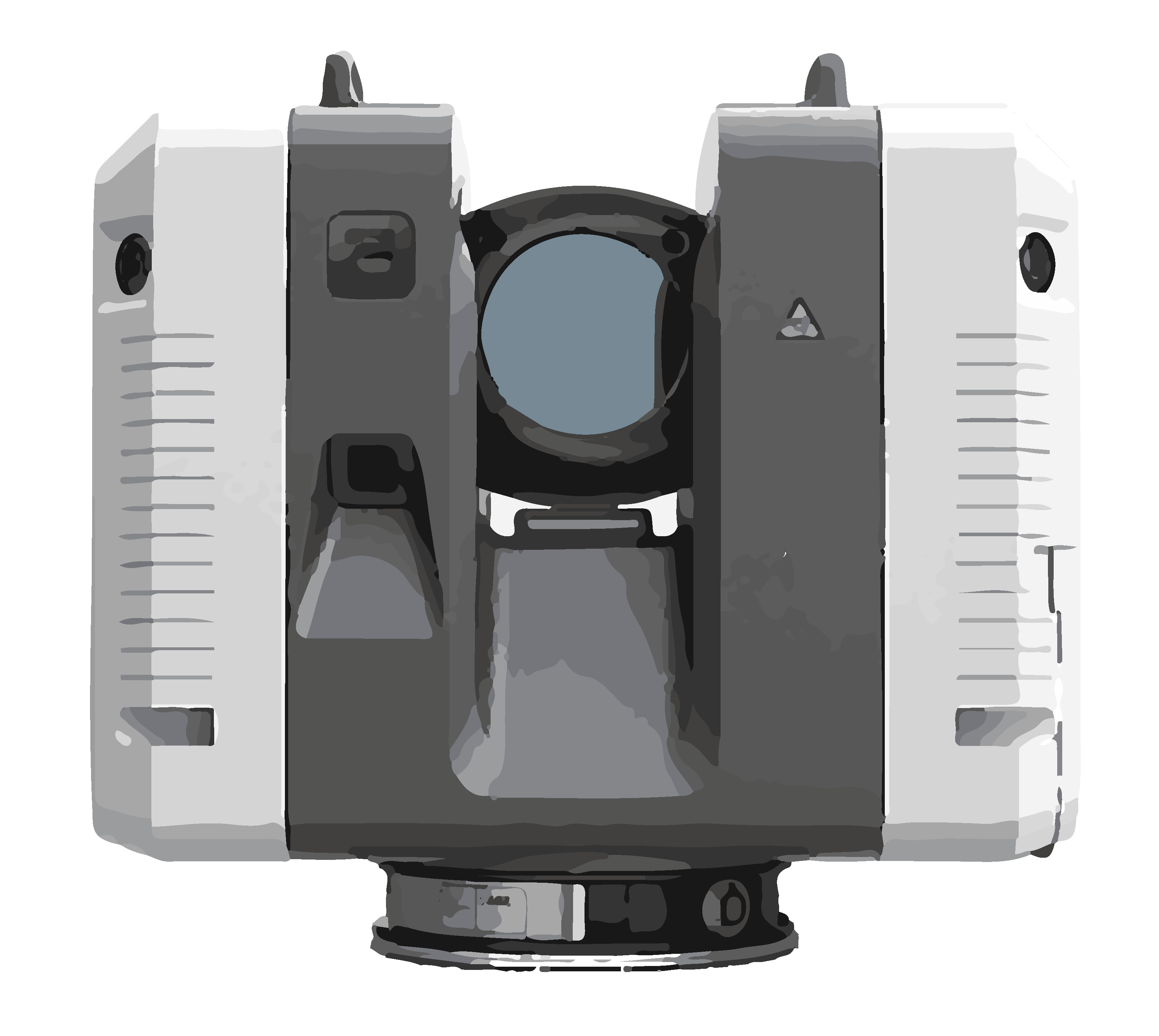
The app puts capture in your teams' hands. The instruments set the ground truth everything else is measured against.
Note on Data Accuracy: The accuracies listed above represent "3D Point Accuracy" based on controlled manufacturer testing. Real-world results may vary slightly depending on surface reflectivity, ambient lighting, and environmental conditions at the project site.
Start with one site
Tell us one location. We will dispatch a certified technician in two to three days and you will have raw spatial data inside 24 hours.