Standard Drone Deliverables

Robotic ImagingMarch 24, 2026
We deploy a variety of drones on-site to standardize deliverables and save time on-site. The efficiency translates to cost savings and consistent deliverables across your projects. Our drone workflows enhance the safety of our crews while collecting tough existing conditions that are hard to understand from the ground. Our comprehensive aerial and ground based capture is all done by experienced FAA Part 107 UAS Drone Pilots.
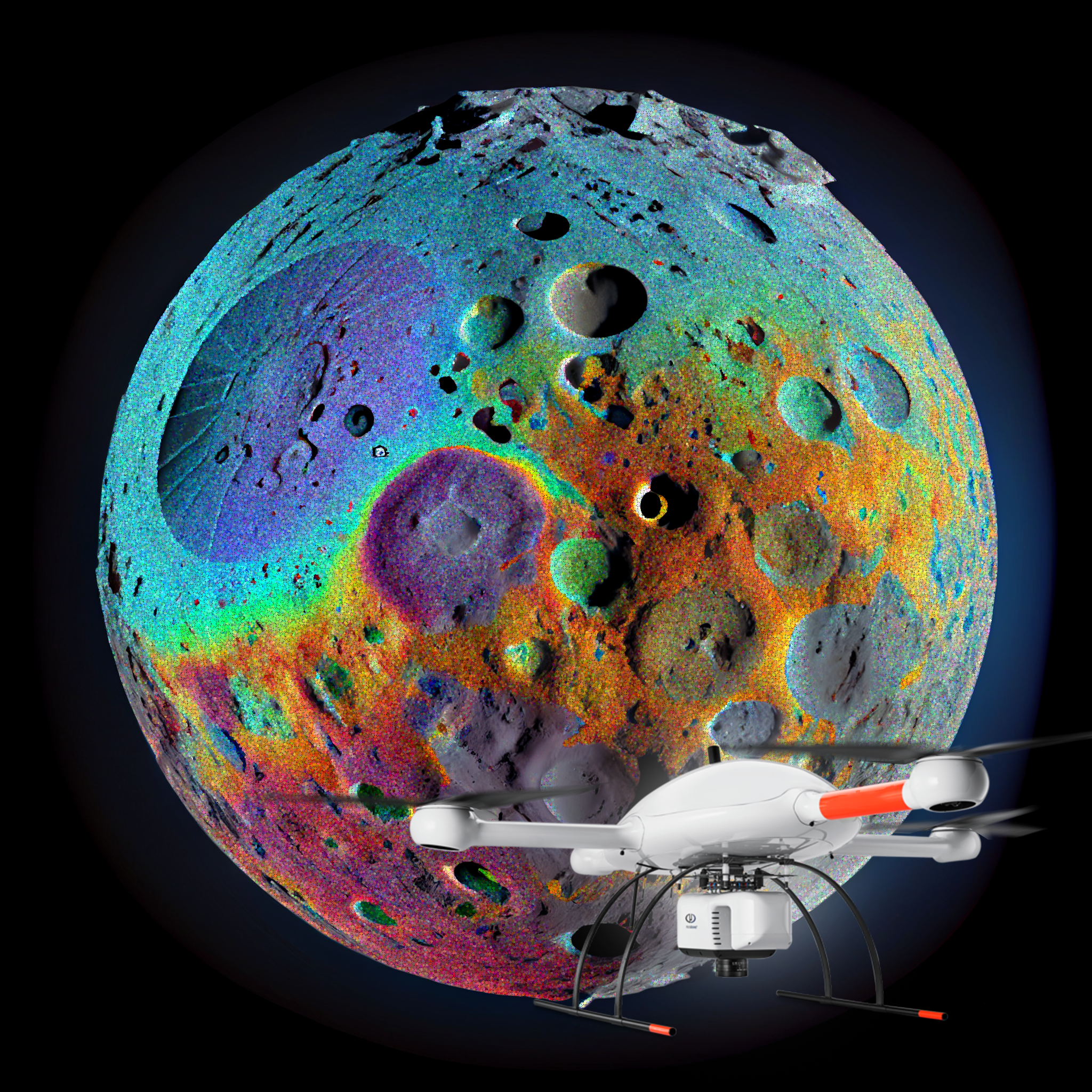
Our drones are equipped with high-resolution cameras and other sensors that provide detailed visual and thermal imagery. This enables comprehensive data collection and analysis, allowing for a more accurate assessment of a construction project's progress or the condition of it's roof. Drone Deploy Integrations can be made available for multi-site roll-outs or 1-off adaptive reuse projects. We capture close-up images and videos, making it easier to identify defects, structural issues, or potential problems on retail roofs or construction sites. This level of detail can inform better decision-making for repairs or improvements.
Digital records of the construction process or the condition of a roof, can be invaluable for documentation, compliance, and insurance purposes. This record can serve as a historical reference. The accessibility and versatility of our aerial systems can capture access hard-to-reach areas that might be challenging for humans, such as roofs with steep pitches or tall structures. Their versatility allows them to adapt to various retail construction and inspection needs.
Smaller carbon footprint compared to traditional inspection methods, such as using heavy machinery or manned aircraft. They contribute to more environmentally friendly operations. Data Analysis and Reporting: The data collected by drones can be processed through software and analyzed to generate reports and insights quickly. This data-driven approach improves decision-making and problem-solving in construction and inspection processes.
Scalability: Whether it's a single retail store or a multi-site retail development, drones can adapt to the requirements. Incorporating drone documentation offers a 3D technological edge that enhances safety, efficiency, and precision across the adaptive re use industry. By harnessing the power of aerial technology, businesses can streamline their operations, reduce costs, and ensure the quality and longevity of their structures. We make construction documentation drones available in all markets.
Our imaging can produce 3D, orthomosaic, and thermal. Each of these aerial maps have many benefits from pre-planning, monitoring progress and understanding a site’s layout, 3-5 hours after a site visit. This level of data is precise compared to satellite imaging or plane imaging.