6 posts tagged with "Photogrammetry"
View all posts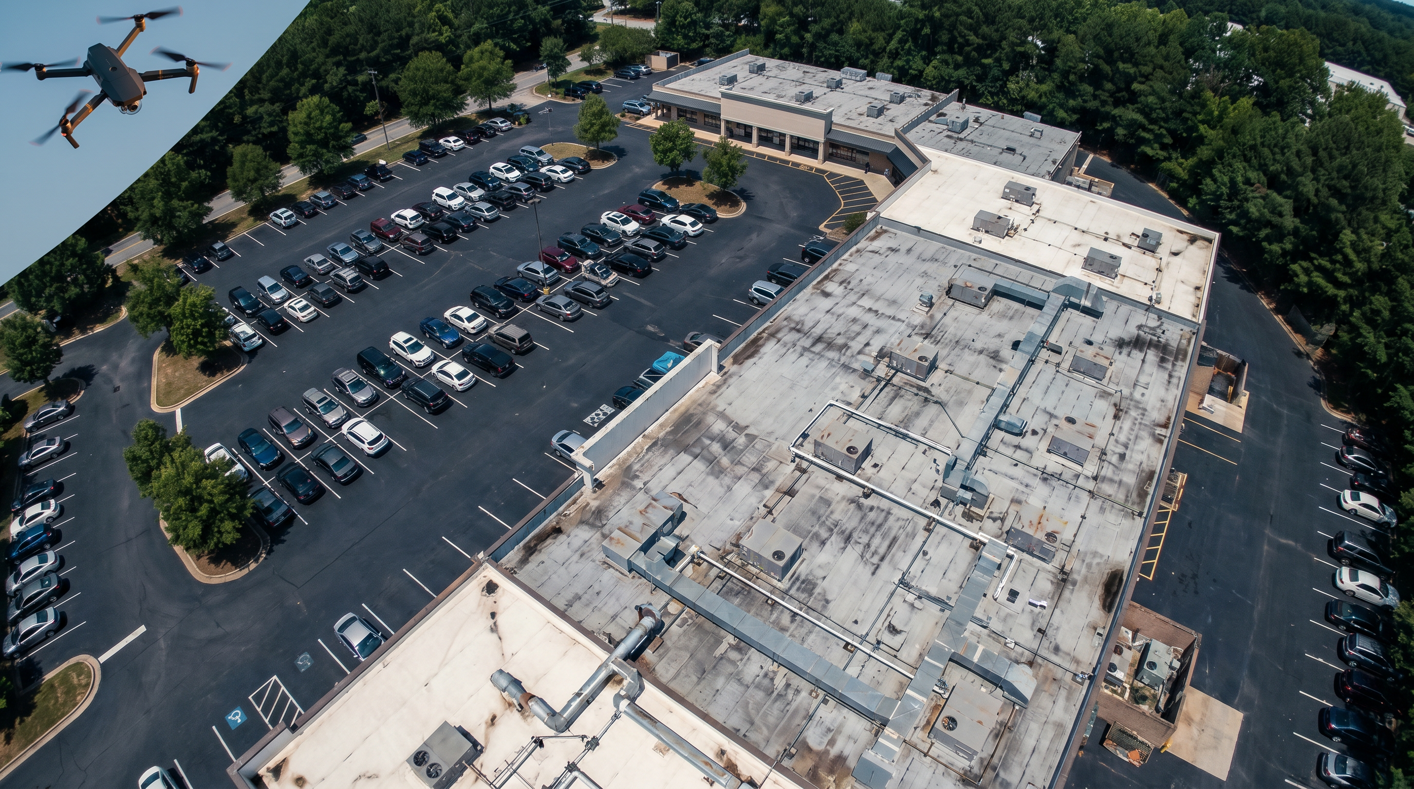
Aerial Drone Documentation Services: Visual Capture for Commercial Real Estate
Robotic Imaging, May 22, 2026
Tags:
Robotic Imaging's FAA Part 107 certified drone pilots deliver orthomosaic maps, 3D models, thermal roof inspection, and aerial photography for commercial real estate — available in all markets, with deliverables ready 3-5 hours after a site visit.What is a Point Cloud?
Robotic Imaging, February 27, 2024
Tags:
Point Clouds are plotted data points representing space, with each point in an X, Y, Z coordinate to represent a surface. These data points collectively capture...
Beyond Blueprints: Using Virtual Reality to Enhance AEC Project Planning and Design
Robotic Imaging, May 30, 2023
Tags:
The AEC industry has become a hotbed for virtual reality (VR) technology in recent years, and with good reason. VR can help save time, money and energy by reduc...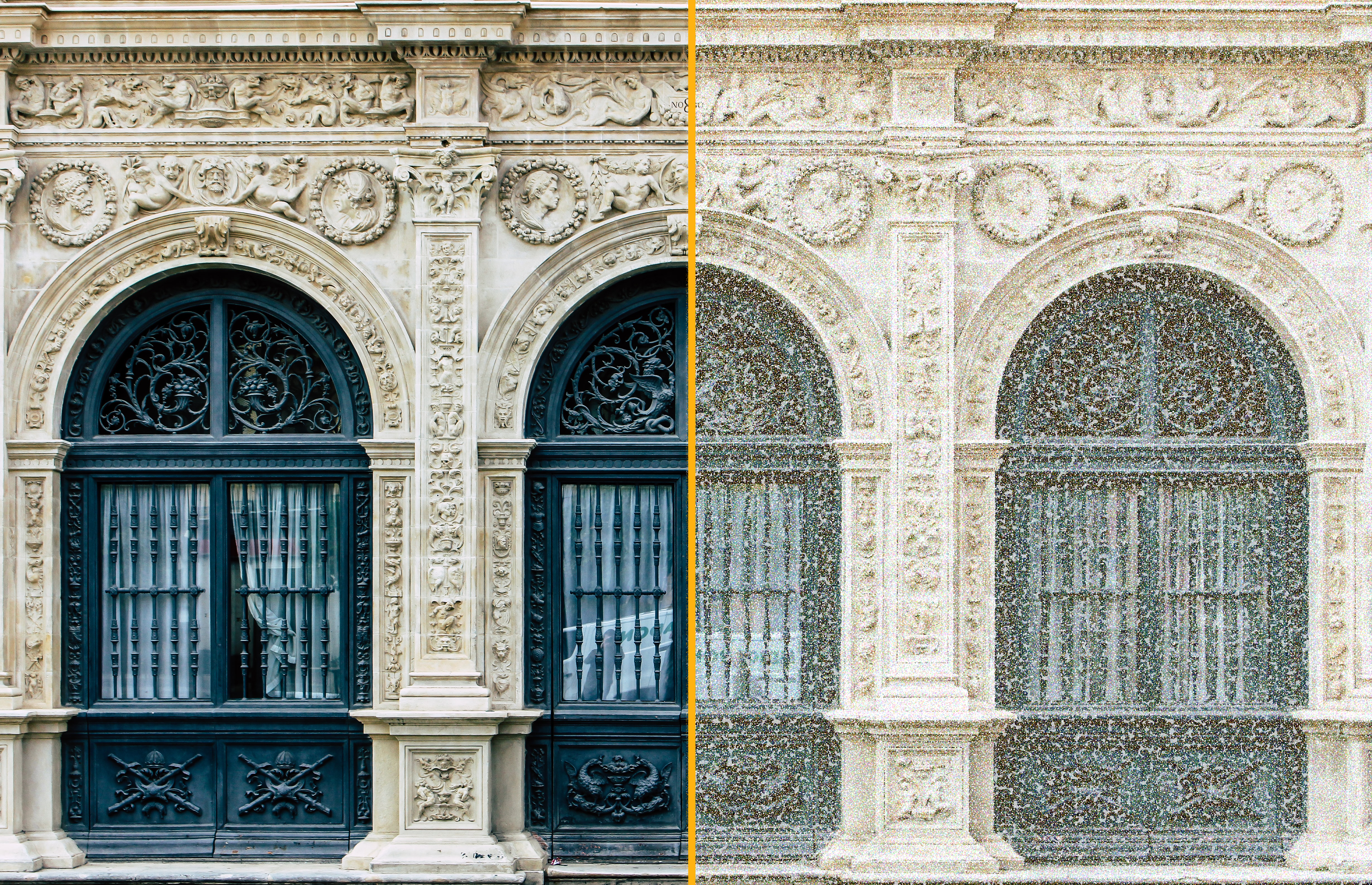
How Scan-to-BIM Services Expedite Historic Industrial Adaptive Reuse Projects
Robotic Imaging, March 7, 2023
Tags:
With historic preservation on the rise and adaptive reuse projects becoming more common, it's important for project owners to find ways to maximize efficiency....
The Many Benefits of 3D Laser Scanning
Robotic Imaging, January 8, 2023
Tags:
If you work in the Architecture, Engineering, or Construction (AEC) industry, then you know that time is money. And if there's one technology that can save you...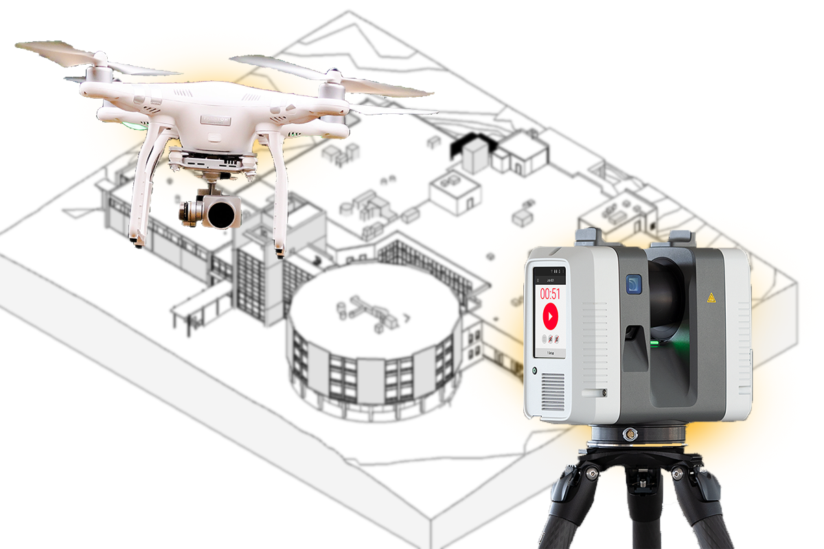
LiDAR Scan vs. Photogrammetry: Which One Is Best For Aerial Mapping?
Robotic Imaging, October 30, 2022
Tags:
There are primarily two main methods for gathering data for the purpose of aerial mapping. These include LiDAR scan and photogrammetry. The term "Lidar" stands...