6 posts tagged with "Facility Management"
View all posts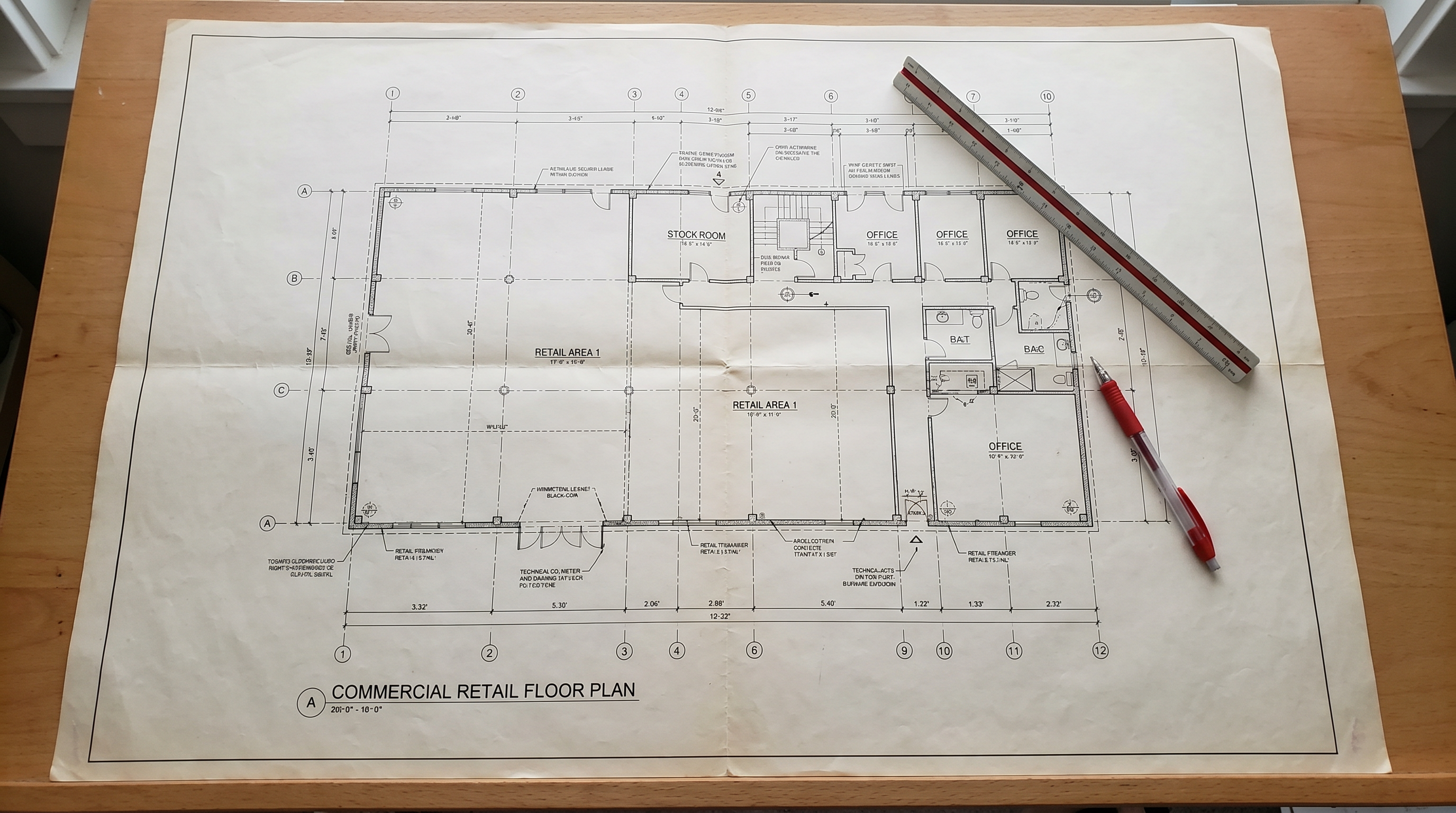
Complete Guide to Scan-to-CAD: 2D As-Built Drawing Services from LiDAR
Robotic Imaging, June 1, 2026
Tags:
Robotic Imaging's Scan-to-CAD service converts LiDAR point cloud data into accurate 2D CAD drawings — floor plans, reflected ceiling plans, elevations, sections, and MEP documentation — at ±2mm LEICA RTC 360 accuracy. This guide covers the technology, three-phase workflow, LOD levels, industry use cases, and enterprise multi-location programs.
Scan-to-CAD: 2D As-Built Drawing Services from LiDAR Laser Scanning
Robotic Imaging, May 22, 2026
Tags:
Accurate 2D as-built drawings are the foundation of nearly every renovation, tenant improvement, and facility management project in commercial real estate. Robotic Imaging's Scan-to-CAD service delivers floor plans, MEP documentation, elevations, and more from $0.19/sqft in 10-14 business days.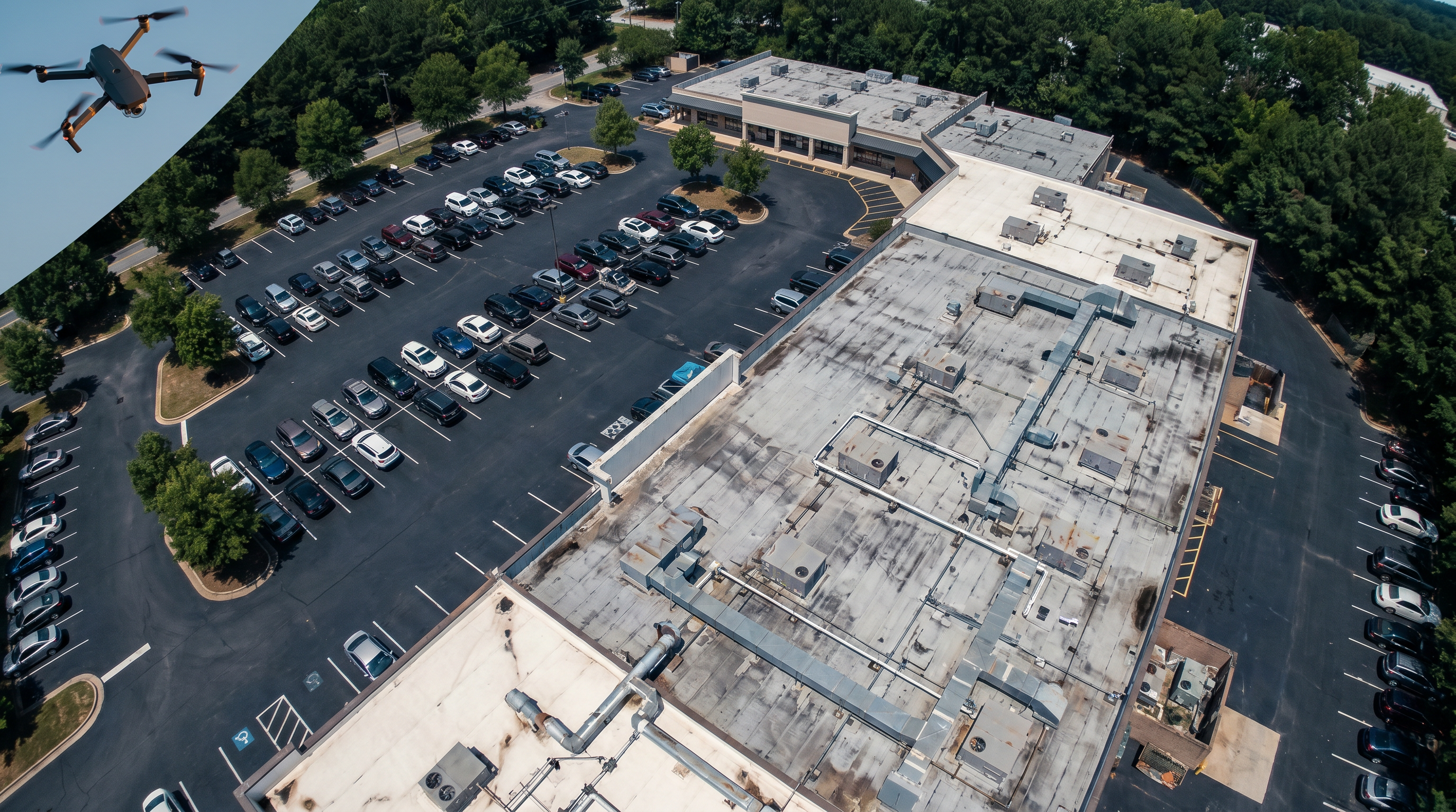
Aerial Drone Documentation Services: Visual Capture for Commercial Real Estate
Robotic Imaging, May 22, 2026
Tags:
Robotic Imaging's FAA Part 107 certified drone pilots deliver orthomosaic maps, 3D models, thermal roof inspection, and aerial photography for commercial real estate — available in all markets, with deliverables ready 3-5 hours after a site visit.
How Retail EHS and Compliance Teams Use RI Capture and RI Facilities for Field Documentation
Robotic Imaging, May 19, 2026
Tags:
The gap between when a compliance problem is identified and when it gets documented is where regulatory exposure lives. For EHS managers and Compliance Directors responsible for multi-location retail portfolios, this is the operational reality of relying on paper-based documentation workflows.
The Architect's Platform for As-Built Documentation, Existing Conditions & Renovation Project Intelligence
Robotic Imaging, May 18, 2026
Tags:
Ask any architect who works primarily on renovation and adaptive reuse projects what the most expensive part of their job is. Most won't say design fees or staffing. They'll say change orders.
What Is Robotic Imaging? LiDAR Scanning, Scan-to-BIM & AI Facility Management Explained
Robotic Imaging, May 15, 2026
Tags:
Here's a situation that plays out constantly across the construction and retail industry. A Director of Facilities has 200 stores scheduled for a renovation program. Her design team is ready to go.