What is a Point Cloud?
Robotic ImagingFebruary 27, 2024
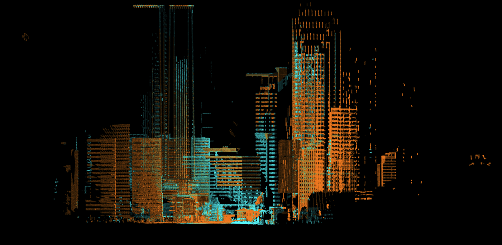
Point Clouds are plotted data points representing space, with each point in an X, Y, Z coordinate to represent a surface. These data points collectively capture entire interior and exterior spaces, sometimes including additional information like color in an RGB format.
At Robotic Imaging, we utilize LiDAR technology for point cloud data collection, ensuring highly accurate scans that are then stitched together through a process called "registration".
Point clouds hold immense value for architects, developers, and construction managers as they can be converted and translated into BIM models, ideal for construction projects.
Project Unknowns Cost A LOT!
We help construction professionals remotely focus on design and project execution. Our point clouds come in a variety of formats that can be upgraded for the most complex building. We save you time and prevent future uncoordinated clashes. Our team is dedicated to helping design professionals eliminate margins for error.
Written by
Robotic Imaging