LiDAR Scanning Tips and Techniques for Converting Retail Spaces
Robotic ImagingMay 3, 2021
Since 2016, the rise of e-commerce has resulted in 40% of US retail sales growth. This has forced retail chains across the country to adopt omnichannel sales approaches allowing customers to make purchases seamlessly, whether it’s online or in physical store locations. This industry shift along with other technology advances has led and will continue to lead to different needs for retail spaces.
Some retailers are converting part of their stores into fulfillment centers (Forbes). We will also begin to see autonomous stores with cashier-less shopping and built-in drive throughs, valuable due to ‘buy online, pick up in store’ orders. This shift has paved the way for up-and-coming retail companies such as goPuff, who’s business model revolves solely around delivery services from micro-fulfillment centers.
These changes will require large-scale and rapid design adjustments to maintain fast rollout demands. That process often requires detailed 3D imaging of a business's retail space. This is why proper LiDAR Scanning for retail real estate is becoming so important.
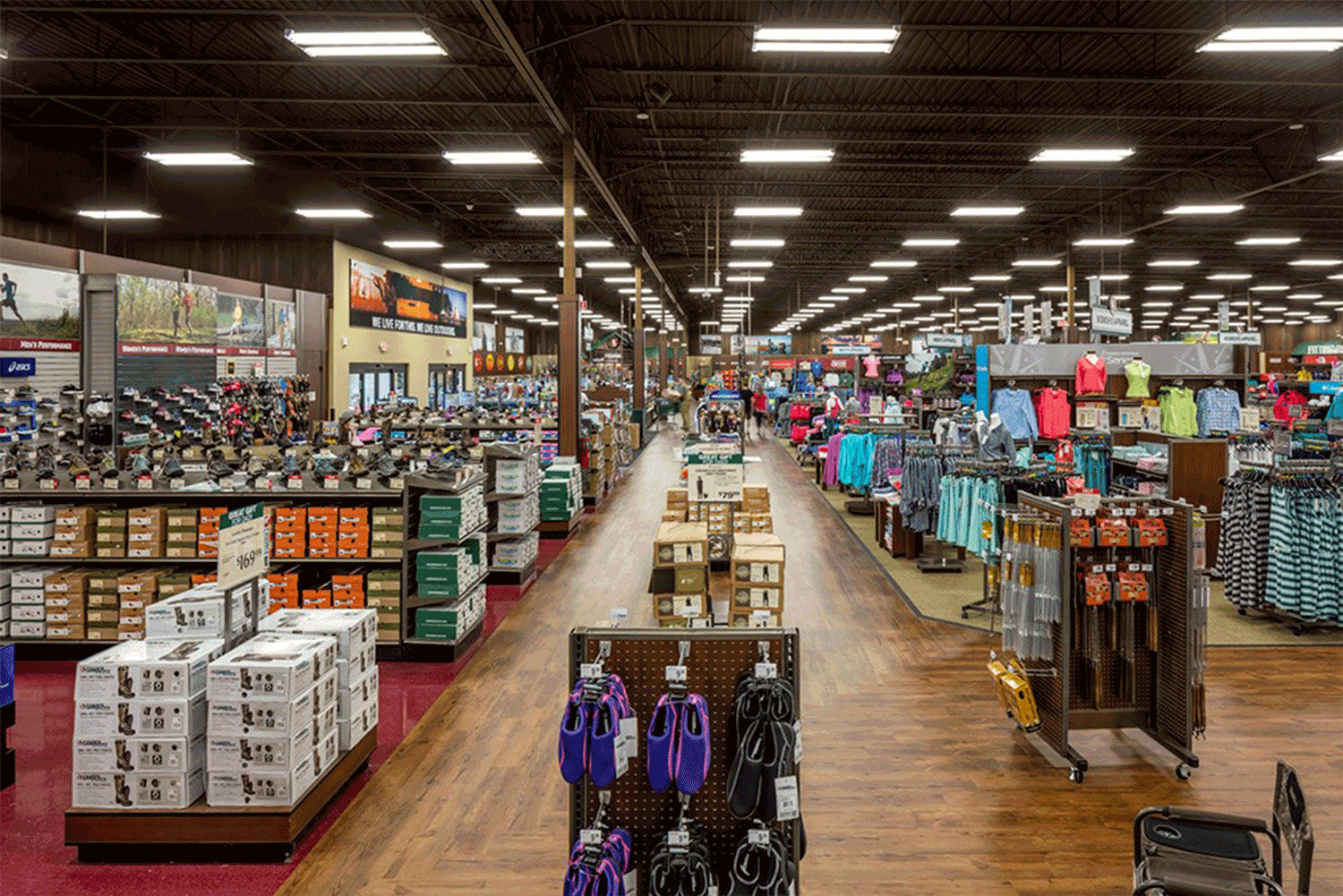
The first stage of design is determining existing conditions and as-built documentation. It is essential that this process is fast, accurate and provides realistic depictions of the built environment. The quickest and most accurate way to understand and document existing conditions in any retail real estate is through LiDAR Scanning.
In this post, we will explain why 3D property scanning is important for retail conversions, and provide tips and suggestions on how to properly scan and document a retail space with a BLK360 LiDAR sensor.
Suggested reading: If you want to learn more about the role of laser scanning in BIM, check out this article.
Why use LiDAR for Retail Real Estate Scanning?
Using LiDAR scanning in retail spaces is becoming essential to ensure fast and accurate depictions of the physical environment. Rather than using lethargic pen to paper hand measurements or intensive surveying methods, retail LiDAR scanning provides some of the most automated and accurate data collection possible and aids in 2D drawings or 3D BIM conversions.
There are dozens of LiDAR tools out there under a large price range, from the P40 to the iphone12 pro. Scanning a retail space quickly while maintaining the accuracy necessary to make layout adjustments as well as architectural changes, however, is a job for the Leica BLK360.
The BLK360 is a highly portable reality capture device that makes bulk scanning of clustered retail chains quick and efficient. This device captures 360,000 points per second using a 360° laser distance meter and high-definition panoramic imaging to create a 3D point cloud of the space around it at millimeter accuracy. Leica Geosystems also provides LiDAR data management and registration software that is most compatible with the BLK360.
To create the best possible digital copy of a retail space, it is essential to understand the best practices for scanning these facilities. While this is not a step-by-step guide for LiDAR capture with a BLK360, it does provide valuable tips and recommendations to consider when scanning a retail space.
Scanning Techniques
Below are a few techniques and recommendations that will assist your LiDAR scanning for retail spaces.
- Come prepared – First thing’s first when preparing for any building scan, making sure you have all necessary equipment will save you a lot of time re-visiting sites. A standard tripod with a leveler or leveler attachment as well as a BLK360 tripod adapter should be all you need to get the job done. For more information on equipment requirements and setup, see this BLK360 setup guide.
- Walk the site/Come up with a scan plan – In order to fully understand the space, you are about to scan, it is important to walk the site beforehand. Retail spaces generally have similar layouts that may include a main floor, receiving area, office spaces, restrooms, breakrooms, and storage areas. Knowing where these rooms are located will prevent you from missing scans and help you come up with an effective scan plan.
- Correct Tilt – Using a tripod leveler attachment with your BLK360 is essential to maintain a consistent level for each scan. Unlevel scans can tamper with the data, causing inaccuracies. It will also make the post-capture registration process much more tedious, requiring you to correct the tilt for any scan that isn’t level.
- Visual Line of Sight – When moving throughout a retail space, maintaining visual line of sight (VLOS) between scans is necessary to ensure more accurate data and prevent warped data. VLOS in LiDAR scanning means that the camera on the BLK can physically see the location of another scan.
- Build triangles – Make sure that each scan has a VLOS with at least two other scans. This allows you to build triangles when registering, ensuring more integrity in the point cloud data. This also requires you to be conscientious of your scan locations and stay on top of your scan plan.
- Distances between scans – Ensuring a strong overlap between scan data is highly dependent on the distance between two scans and varies based on how open the space is. Scanning in an open area such as the main floor of a retail facility, allows you to stretch distances between scans and still capture a significant amount of data. It is recommended in these areas that you don’t exceed 20 to 25 feet between scans. In tighter spaces such as between shelving or in receiving areas, you should decrease the distance between scans to a maximum of 10 feet. When scanning through any doorway such as between rooms or from the interior to the exterior, one scan should be directly in front of each side of the doorway.
- Take Notes – Taking notes on-site is a crucial part of organizing your scan data. This is especially important when skipping to a different location in the facility. If scan 23, for example is in front of an exit door and scan 24 is in the receiving area, noting this down would be extremely helpful when registering the data post-capture.
Closing
LiDAR scanning with the BLK360 is a fast and accurate way to digitize and document a large volume of retail real estate with design ready point cloud models. This will prepare retailers for any changes their facilities may need as the retail industry continues to shift. These valuable digital twins will be remotely available for the entire life of the building and can be used for any future project. That is why it is important to make sure the data is as accurate as possible, and this starts with understanding the most effective methods for scanning.