Robotic ImagingMarch 15, 2023
Introduction
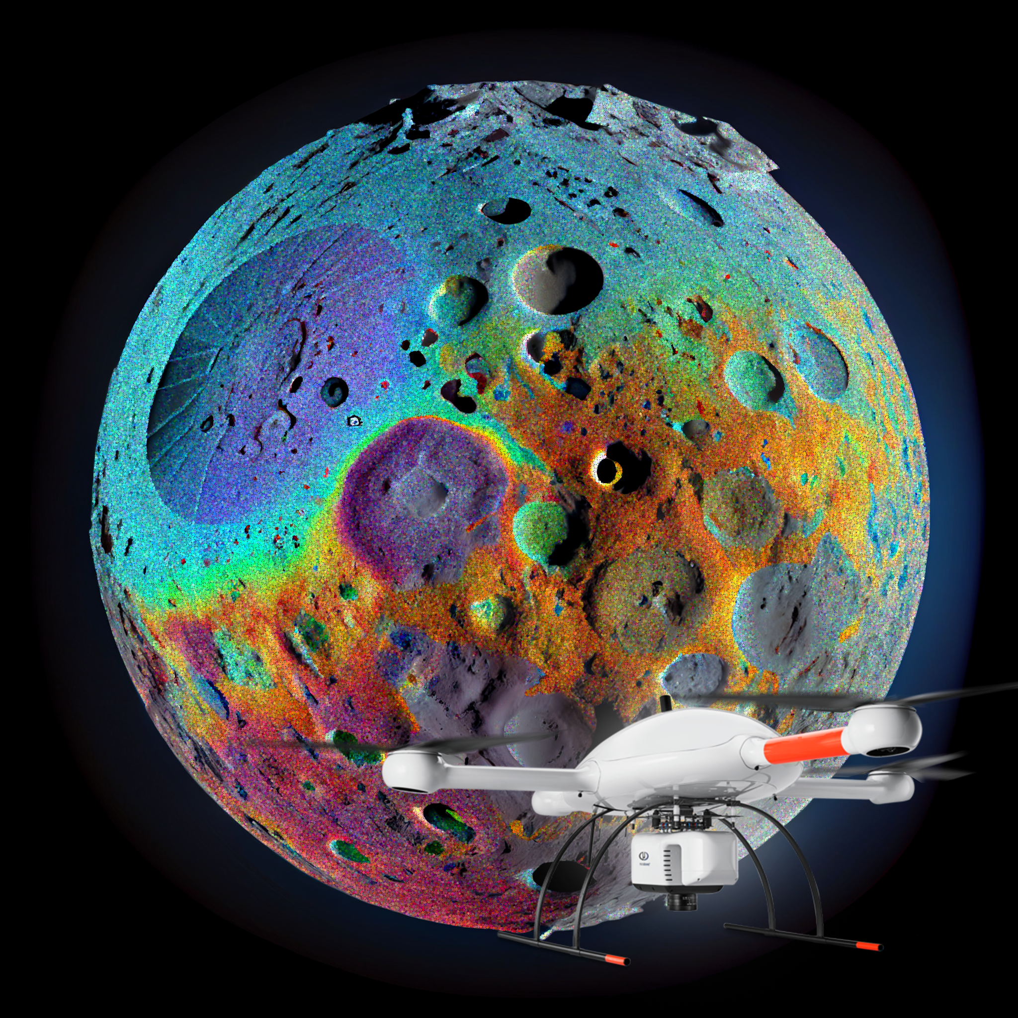
The AEC industry is rapidly evolving, but the pace of change is presenting challenges for construction and design professionals. These challenges include managing traditional data sources for better decision-making, incorporating new digital technology into the workflow and integrating disparate software applications to improve communication across teams. The high-resolution point cloud generated by LiDAR scanners and drones can help AEC professionals address these issues by providing accurate high-definition models with minimal effort. With this information available at the architects, designers and planners fingertips, project managers can better evaluate whether or not there are any potential clashes in the area being surveyed before proceeding with construction or design work.
What is Clash Detection?
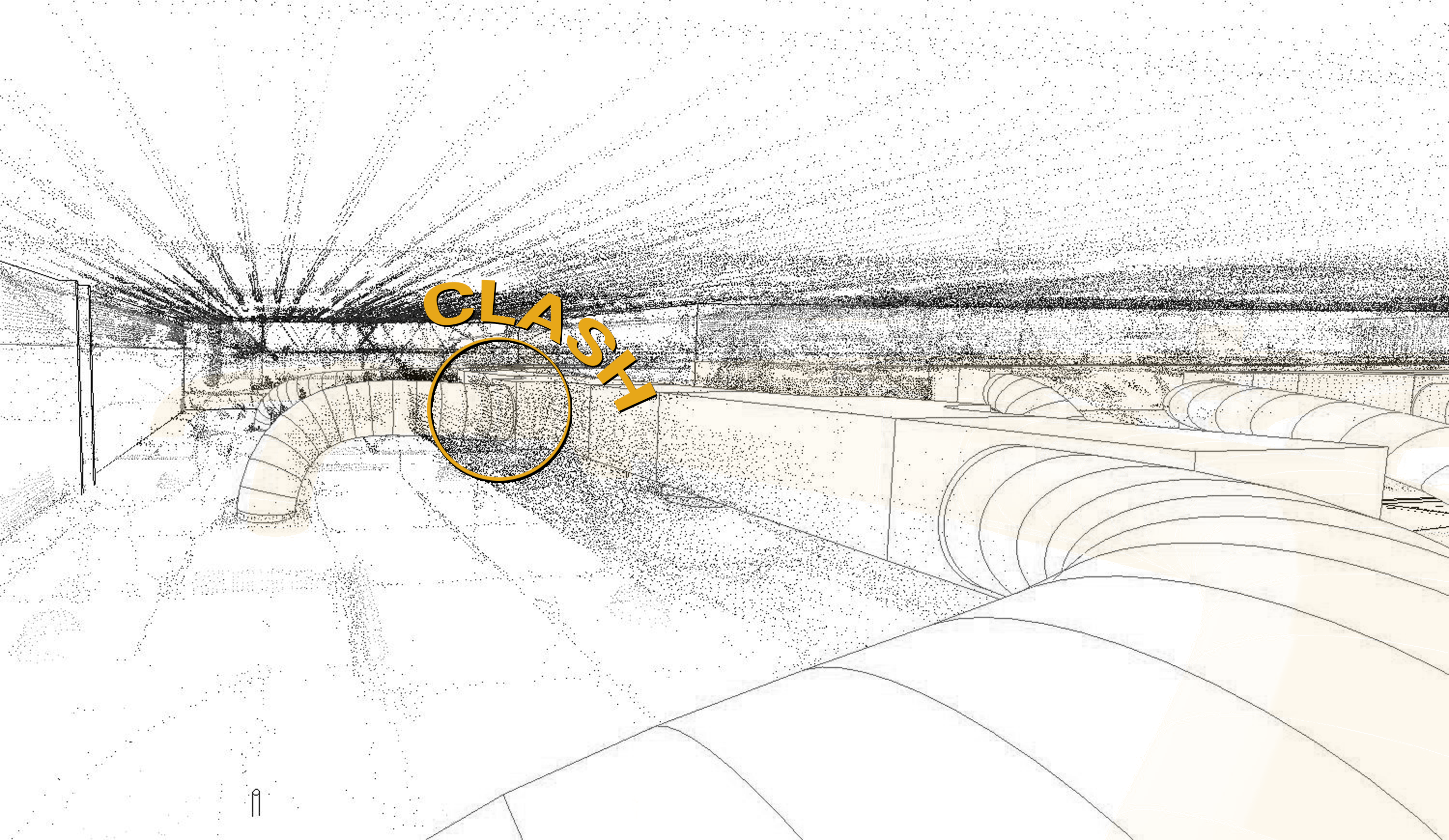
Clash detection is a technique used to identify potential clashes in the field, which can cause errors and delay. Clash detection is performed by comparing the geometry of two or more objects. If these objects are close enough together, they may interfere with one another's location or shape as seen from different viewpoints or vantage points.
In LiDAR scanning, object geometry refers to how an object looks when viewed from different perspectives (e.g., top down, elevation, etc). An example would be if you were standing on top of a building looking down at cars parked underneath it, the cars would appear larger than they actually are because your vantage point is higher compared to theirs; however, if you were standing beside one of them then its true size would be revealed as well as any objects around it.
Suggested reading: If you want to learn more about how to optimize your workflows with LiDAR Scanning, check out this article.
How does Clash Detection benefit the AEC Industry?
Clash detection is a problem in the AEC industry. It's important to ensure quality and safety on projects, and to help ensure they are delivered on time and on budget. With LiDAR scanning, you can resolve potential clashes before they happen by using point cloud data to create 3D models of your project site. This allows you to see what's happening at every stage of construction so that there aren't any surprises later down the line—like finding out that there was an underground pipe underneath where you just poured concrete.
How can LiDAR Scanning be used for Clash Detection?
LiDAR Scanning is a technology that captures the 3D geometry of a building. It can be used to resolve potential clashes by scanning the site and comparing it against other models, such as elevation models or CAD drawings. LiDAR data is fast and accurate, making it an ideal solution for project managers who need to quickly identify potential clashes before they occur during construction work.
The Bottom Line
Clash detection is a big problem in the AEC industry. As we mentioned above, it can lead to costly delays, rework and even lawsuits. LiDAR scanning is a great solution to this problem because it helps you resolve clashes before they happen. It's also important to note that LiDAR scanning doesn't just help with clash detection; it also helps with as-built building surveys and 3D models of existing structures that may need renovation or repair work done on them.
Clash detection is an important process for the AEC industry. It helps create a more efficient and accurate building process by making sure that all parties have access to the most up-to-date information about the site. The technology behind it can be used in many different ways, from using lasers or cameras to generate 3D models of buildings versus flat drawings or photographs (which require manual review), or even using drones as aerial vehicles equipped with cameras capable of detecting potential clashes before they happen so construction workers on site know exactly where they need go next.

