Unlock new levels of precision and efficiency in your architectural projects with our 3D laser scanning service. Architects can now quickly and accurately capture detailed as-built conditions, complex geometries, and site measurements with unparalleled accuracy.Whether you're working on historical preservation, renovation, or new construction, our 3D laser scanning technology ensures every dimension and element is meticulously recorded, reducing manual effort and eliminating guesswork.From initial surveys to final design, this cutting-edge solution enhances your workflow, allowing for seamless integration into CAD and BIM software. Elevate your architecture with precise, reliable data you can trust - explore the future of design with 3D laser scanning.
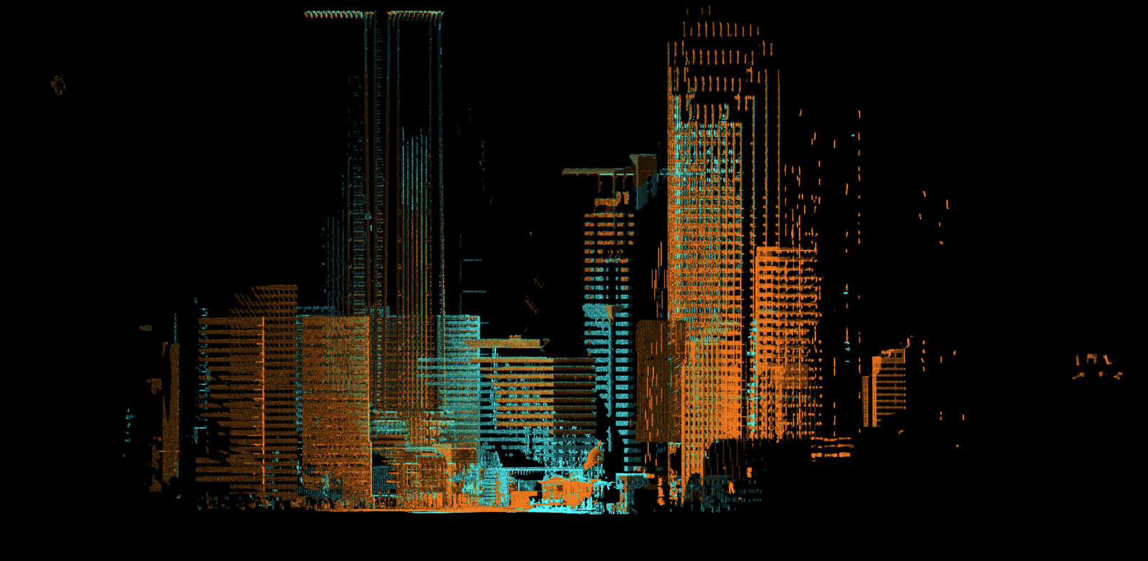
Point Clouds are plotted data points representing space, with each point in an X, Y, Z coordinate to represent a surface. When you break down a point cloud's file structure, it is a bunch of arbitrary or located XYZ values and RGB values (if it is colorized).The general definition is a set of data points making up a 3D representation of the world with an XYZ coordinate for every pixel or laser.Robotic Imaging generates point clouds with laser scanners and drones helping the industry with a few of the major problems with point clouds:
- File Sizes and Computing
- Accuracy of Registered Point Cloud
- Accuracy of Completed CAD / Revit Model to Point Cloud
- Software Compatibility
- Mult-Site Point Data Cloud Collection