45 posts tagged with "LiDAR"
View all posts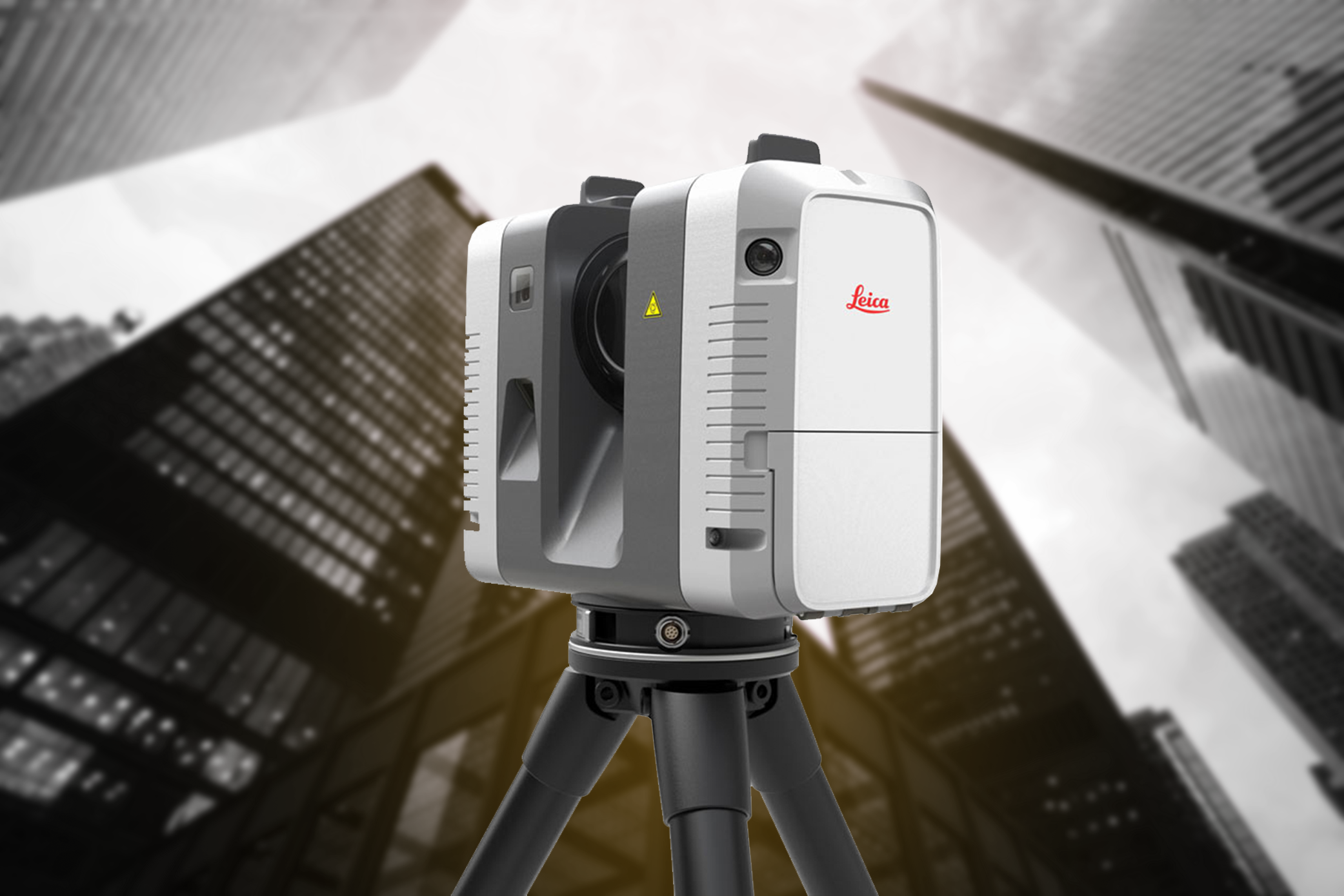
LiDAR is Transforming the World of Real Estate
Robotic Imaging, September 12, 2022
Tags:
Although "LiDAR" sounds quite familiar to "radar," it is more accurate and precise than the latter, as it produces lasers of much lower wavelengths. 3D property...
Application of LiDAR Drone Surveying - Which Industries Can Benefit from LiDAR Drones?
Robotic Imaging, August 31, 2022
Tags:
The LiDAR drone market is expected to grow from $133 million in 2020 to $392 million by 2025. The CAGR growth of 24.2% shows that the LiDAR drone market will co...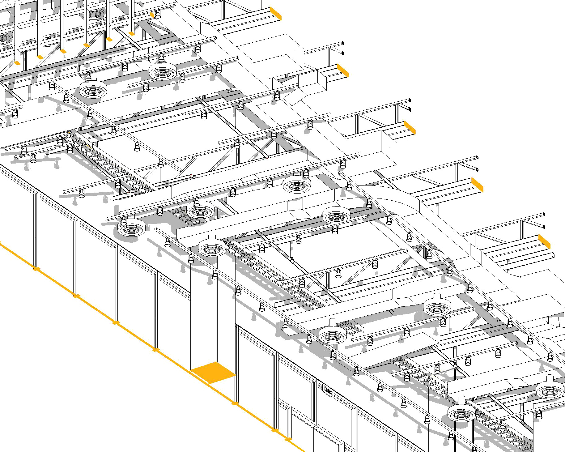
What are the Advantages of Using LiDAR in Retail Real Estate?
Robotic Imaging, August 14, 2022
Tags:
With the speed at which technology is taking over every industry, real estate can not be lagging. Hence, 3D property scanning has become the most effective tool...
LiDAR Drones - How Do They Work?
Robotic Imaging, July 30, 2022
Tags:
The aerial LiDAR drone system gives out precise and accurate geo-rectified and colorized point cloud. It is used for multiple purposes by many kinds of industri...
Why Visualization Matters
Robotic Imaging, January 2, 2022
Tags:
In recent years, visualization in this industry has become the primary method of communication. Effective visualization techniques and strategies enable new des...